Dovrefjell Norway
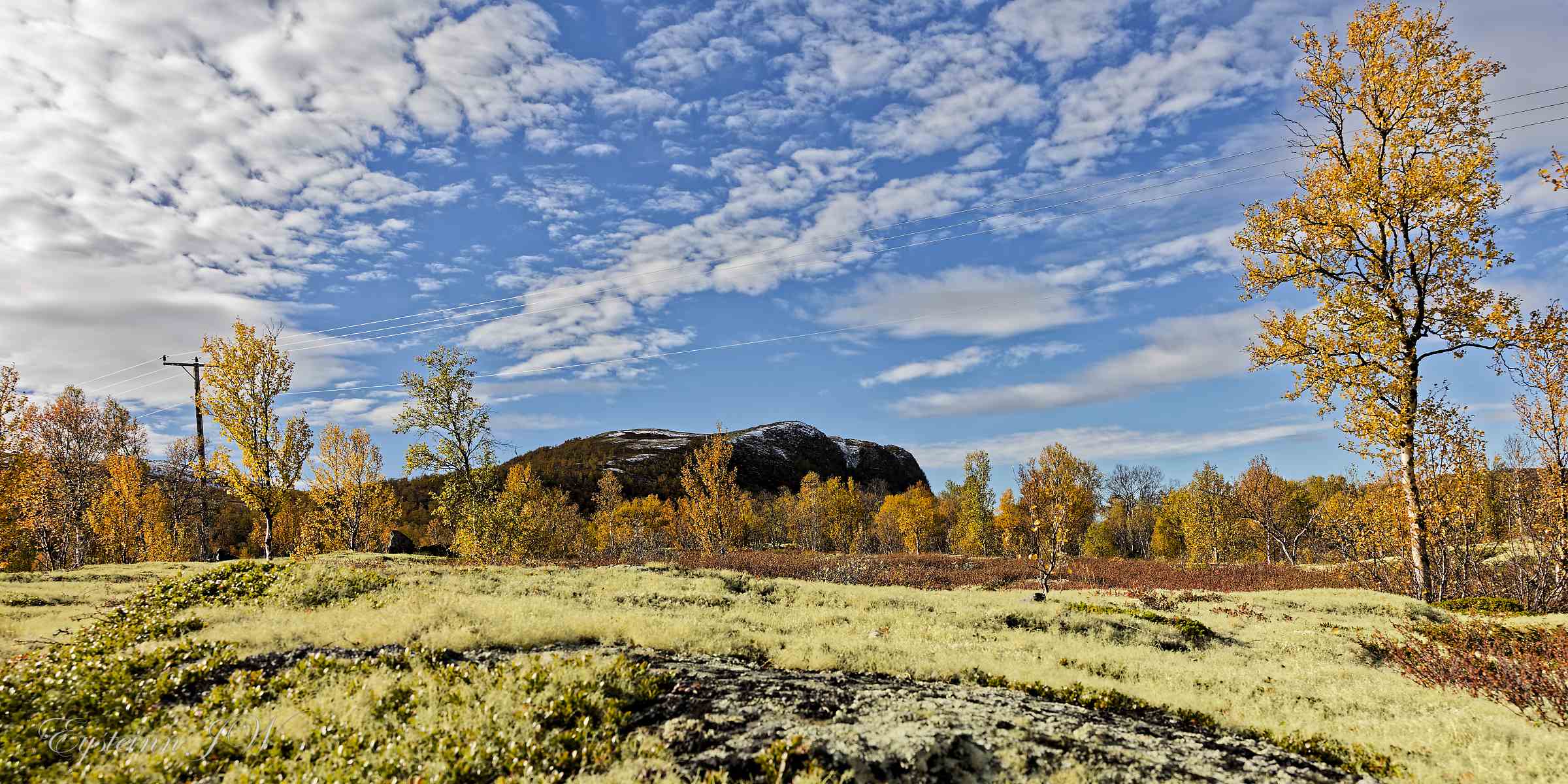
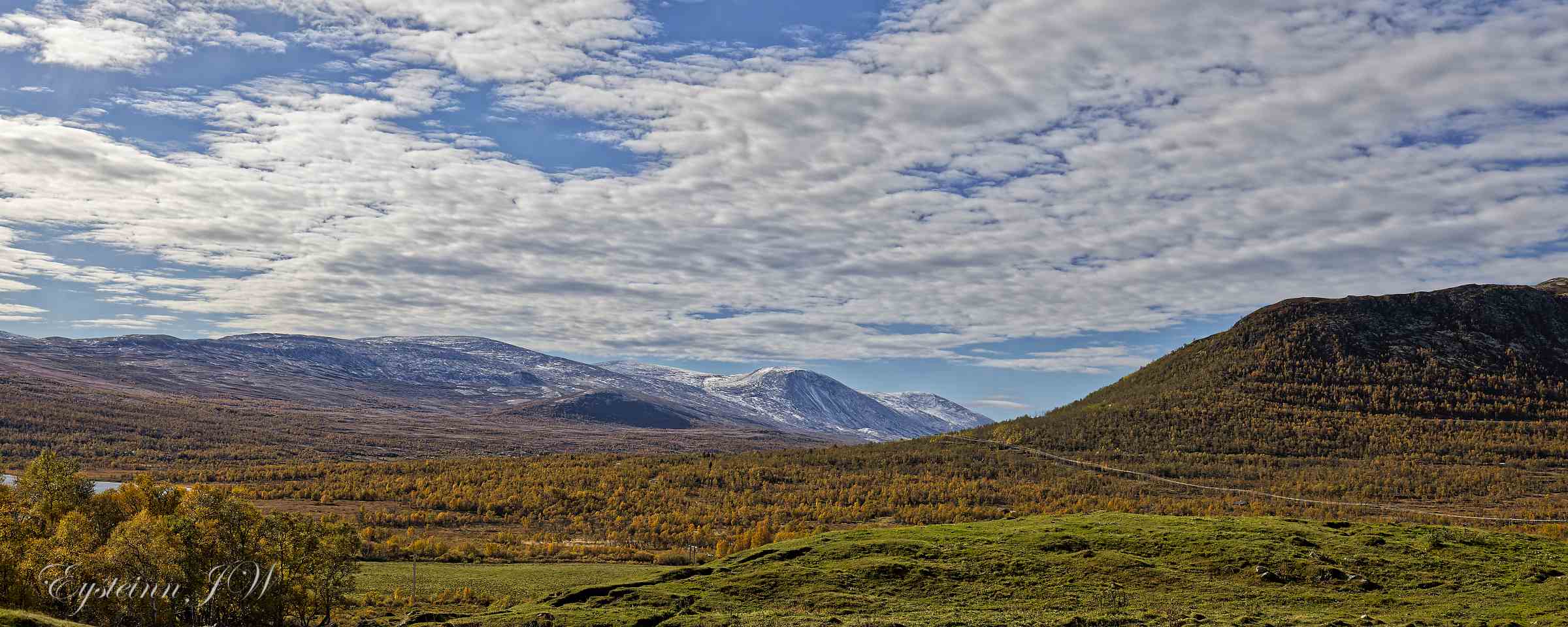
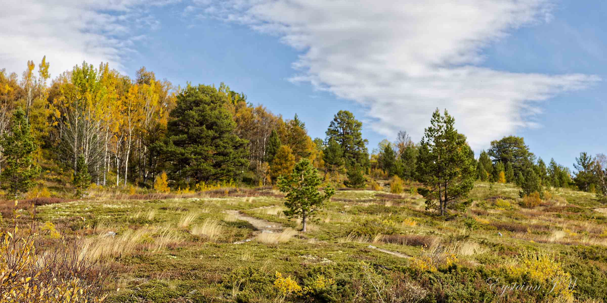
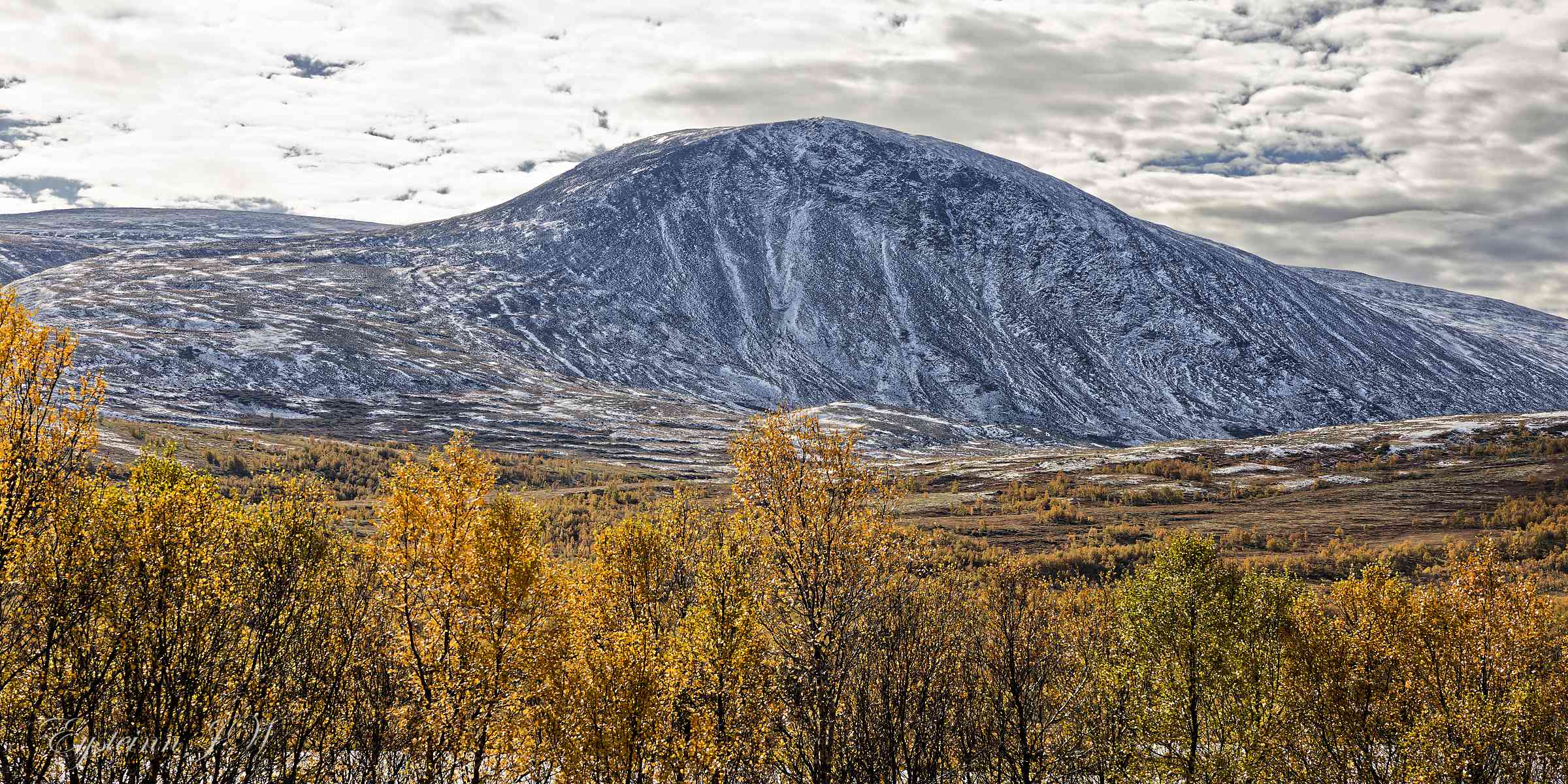
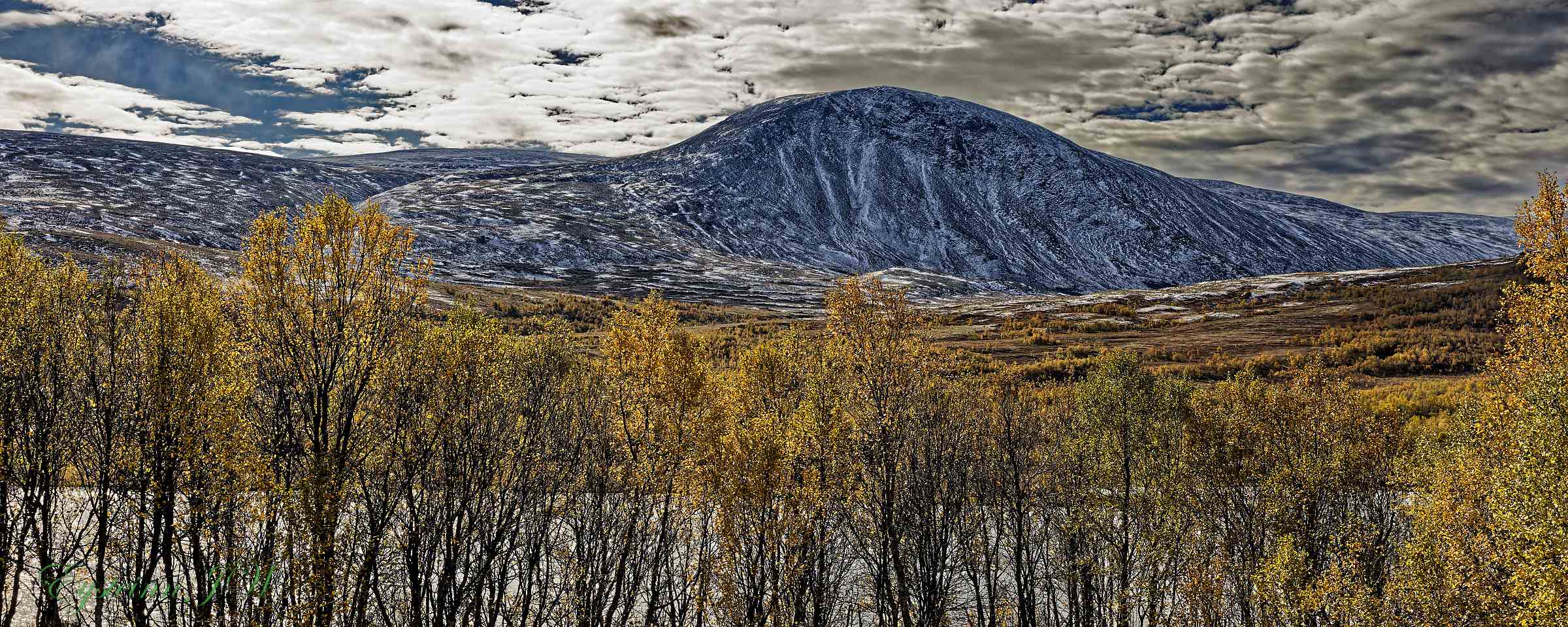
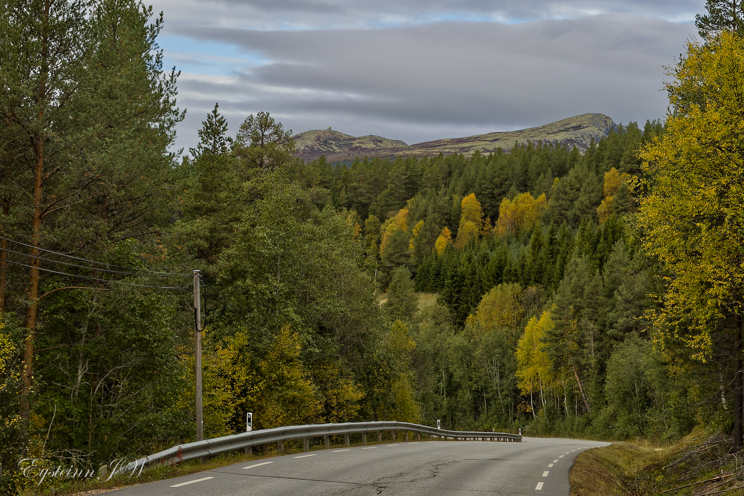
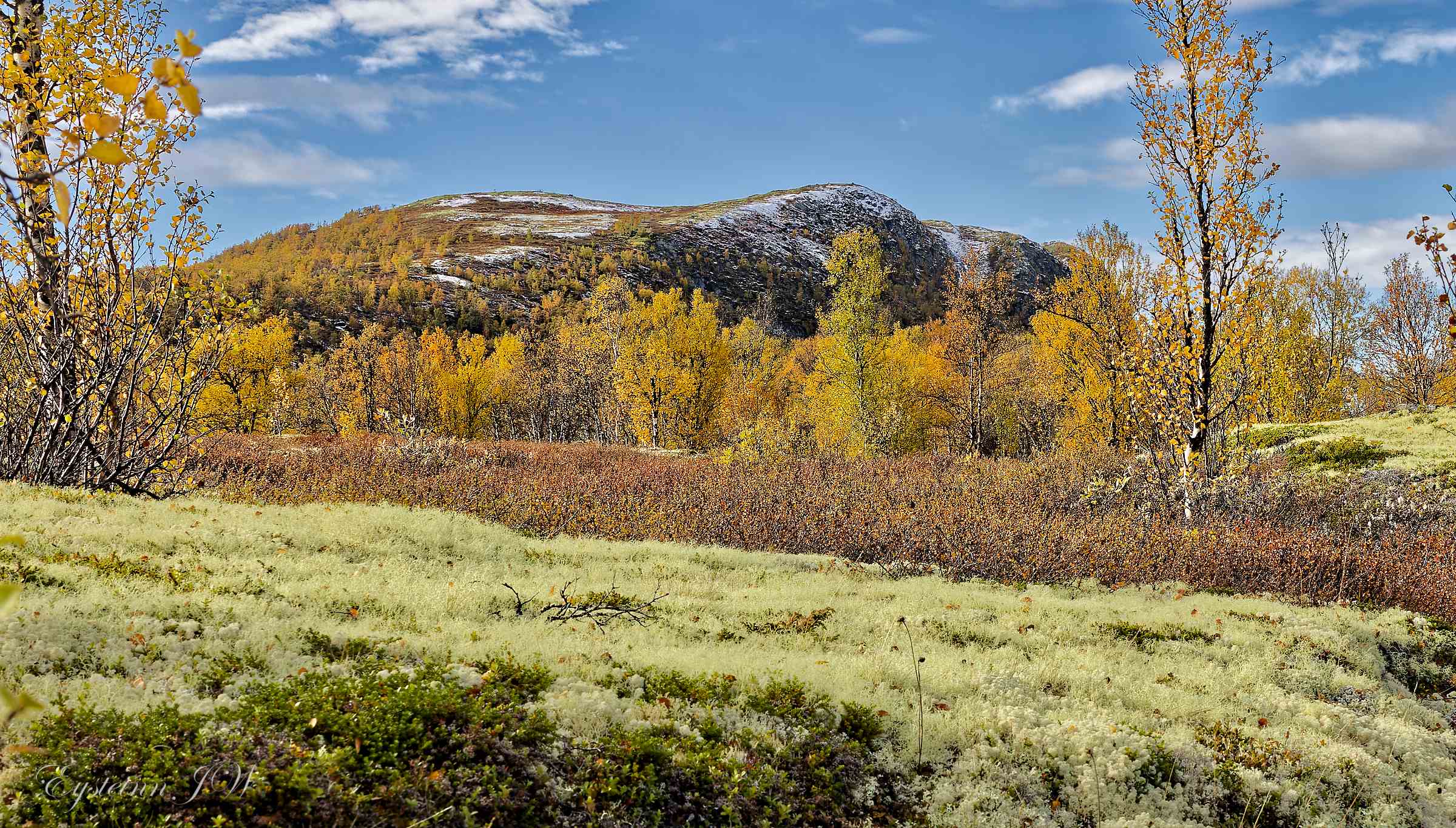
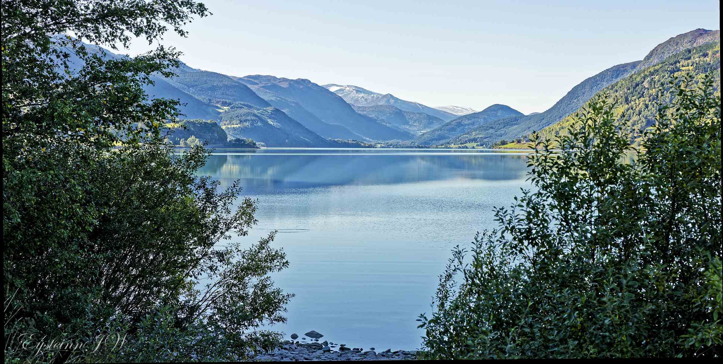
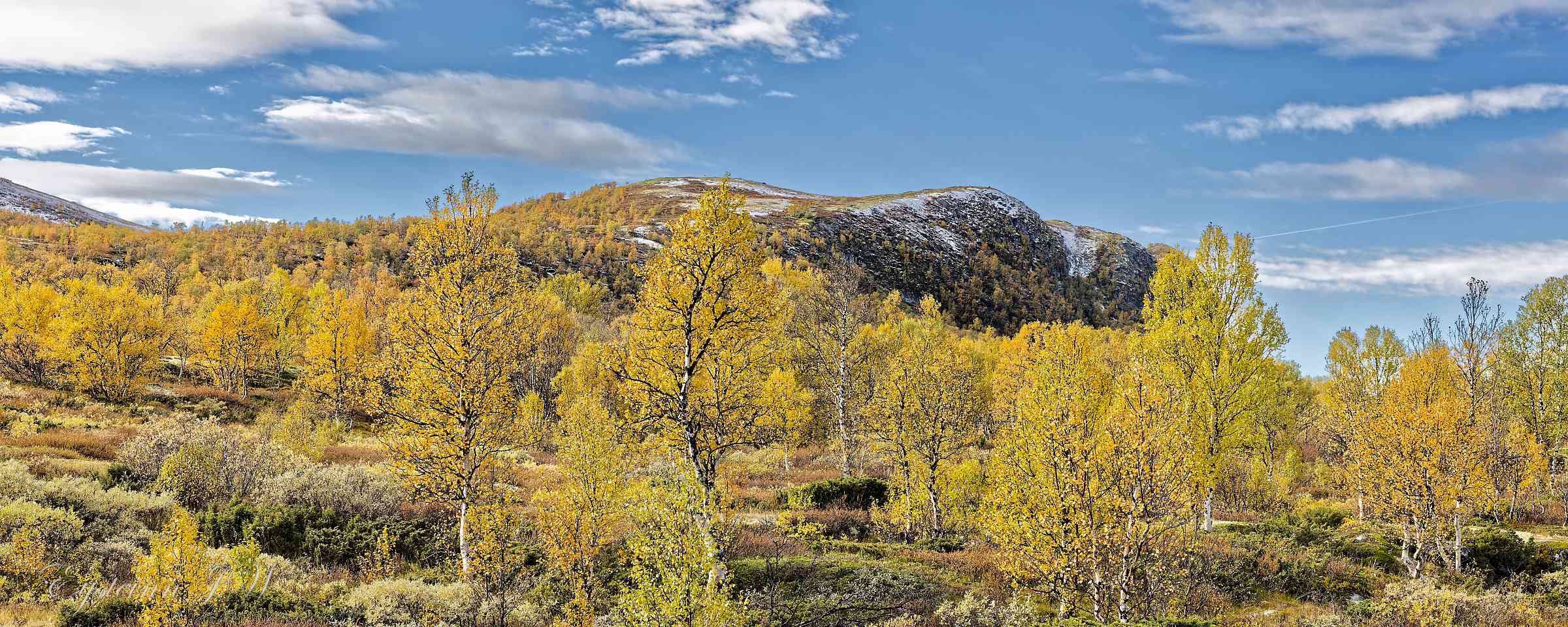
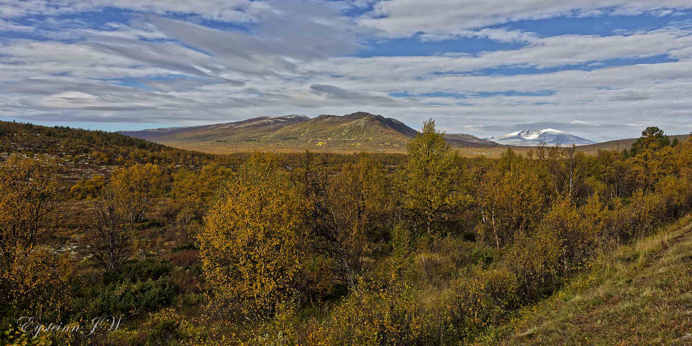
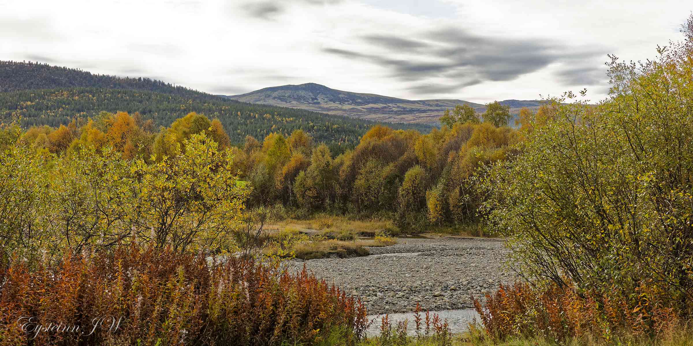
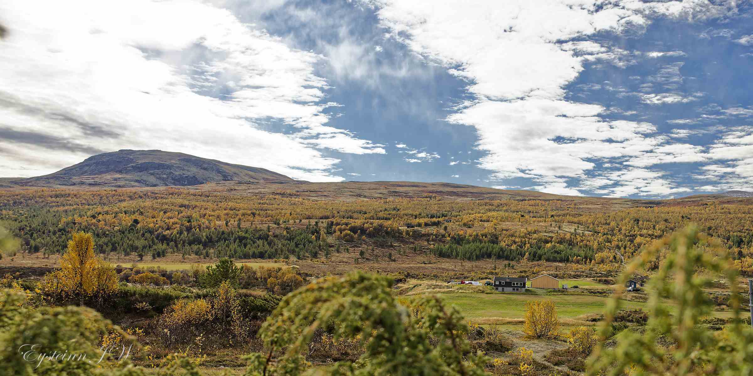
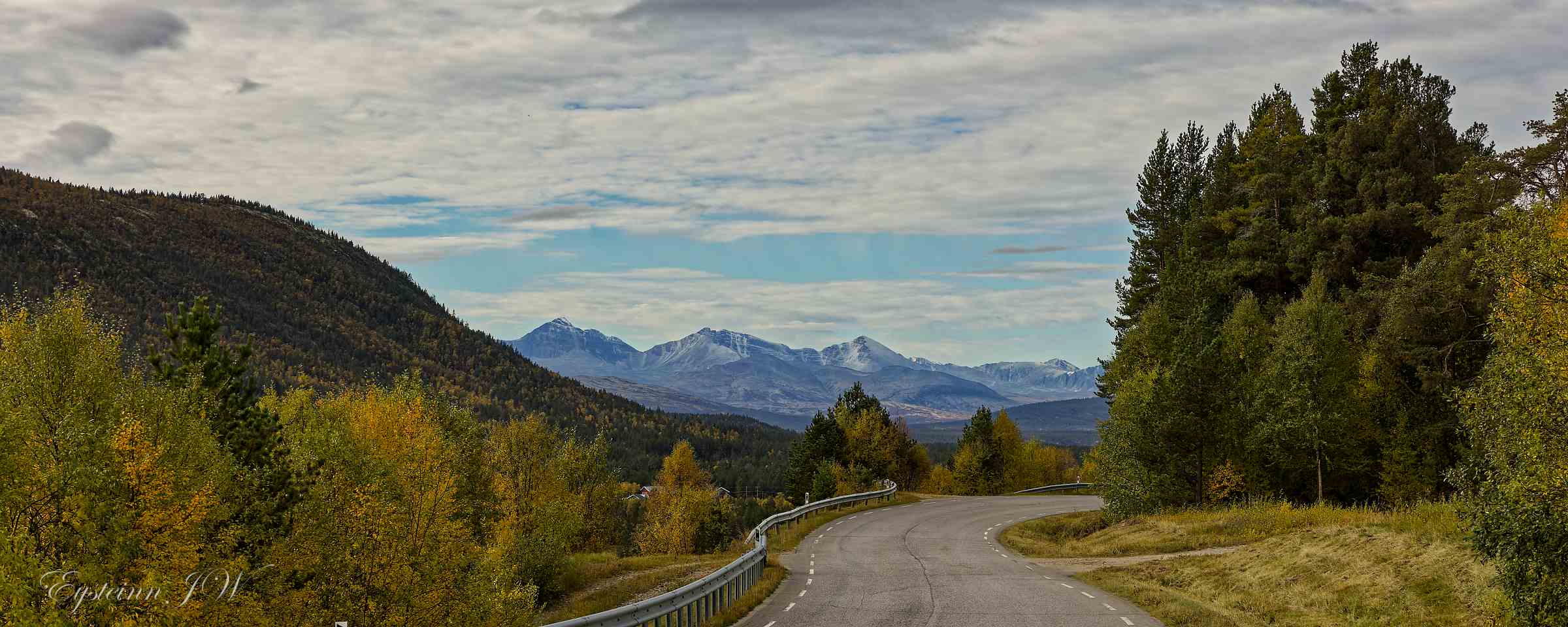
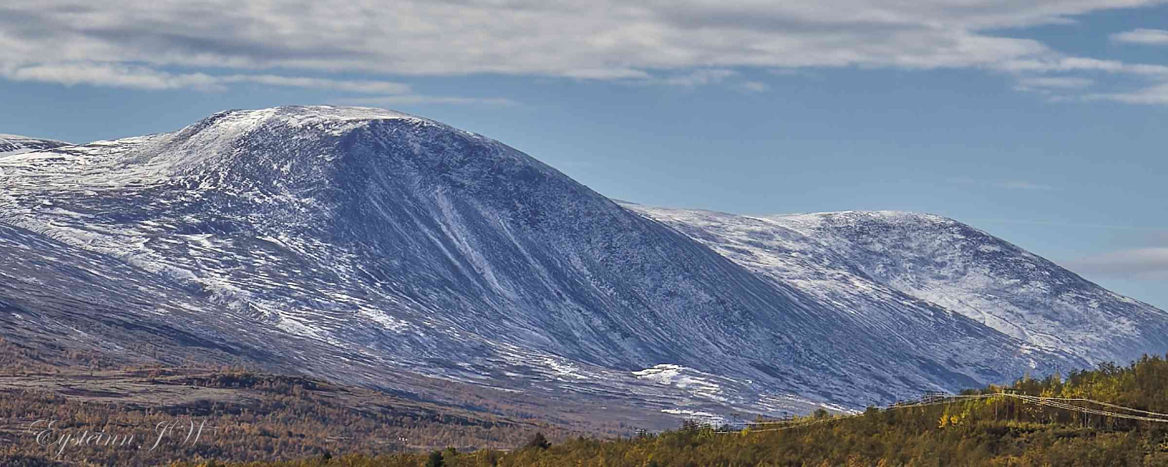
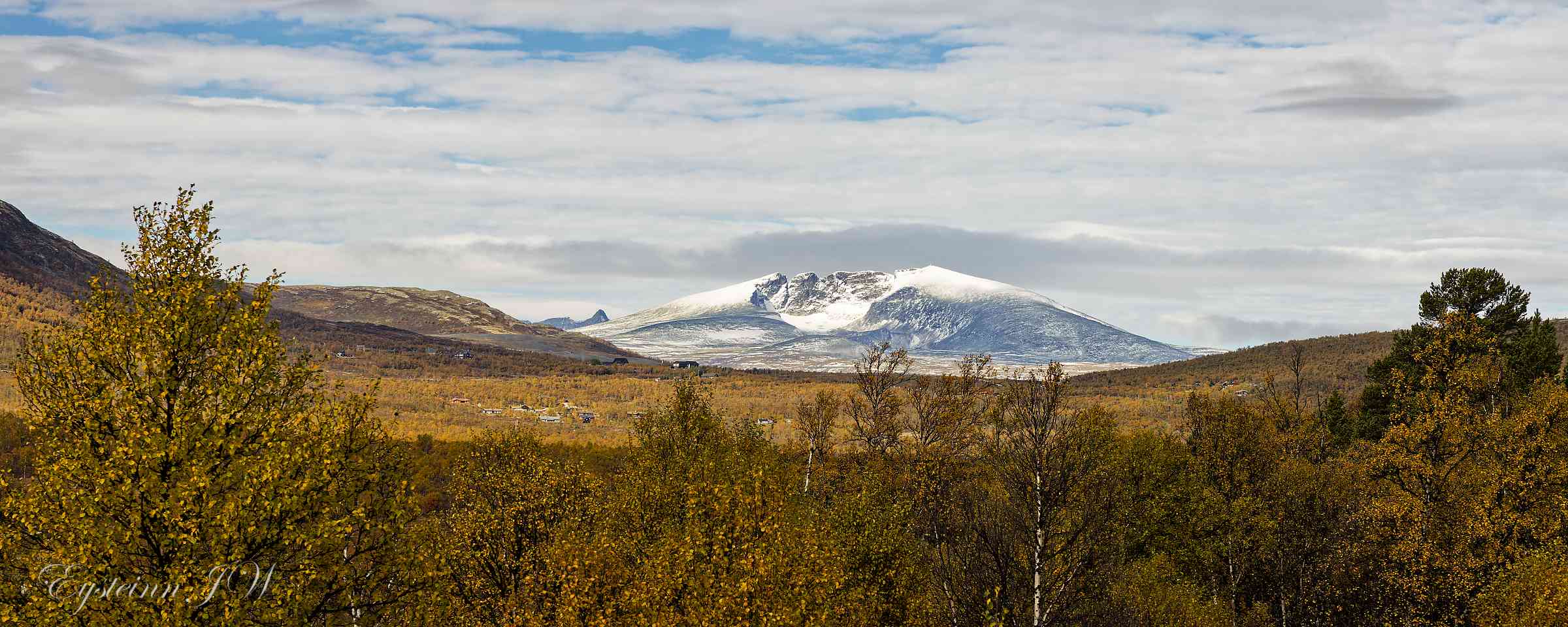
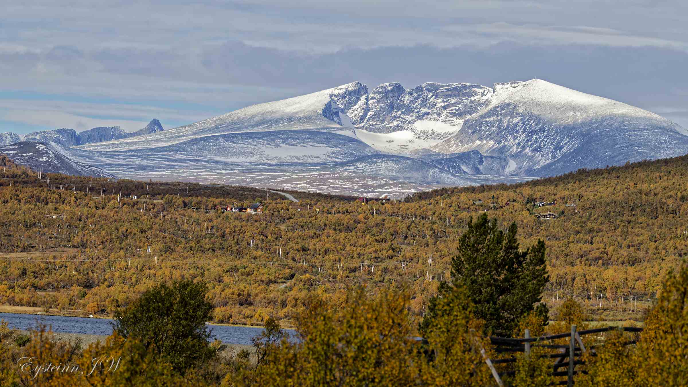
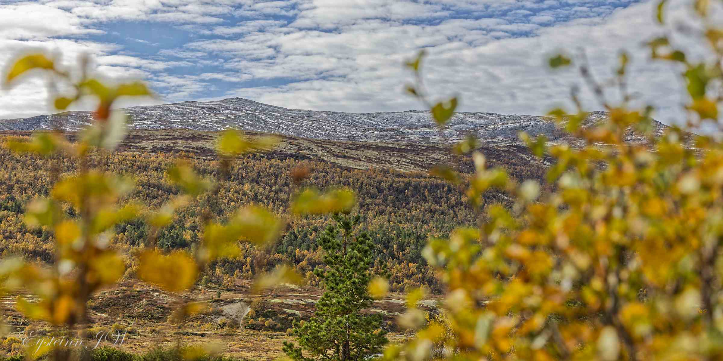
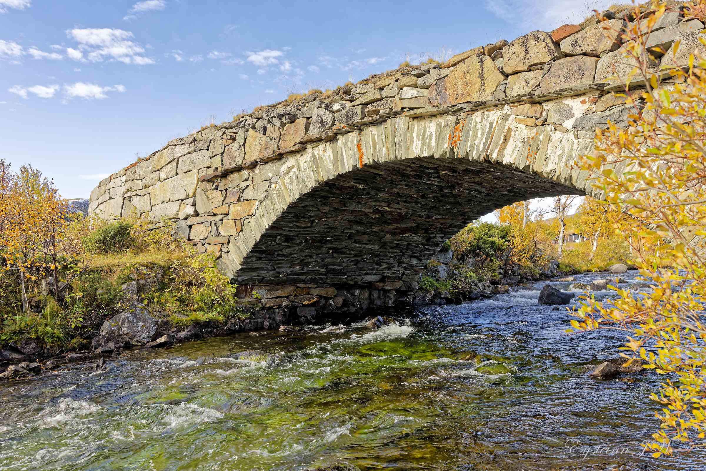
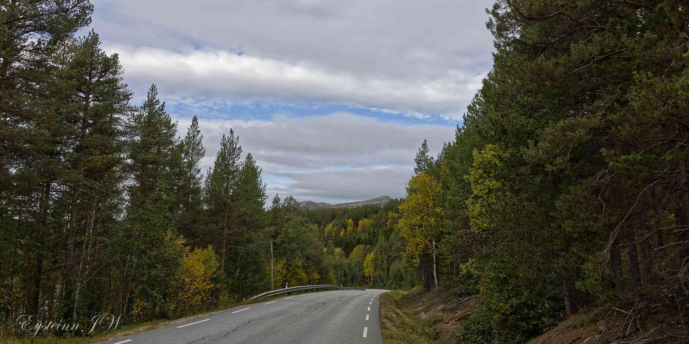
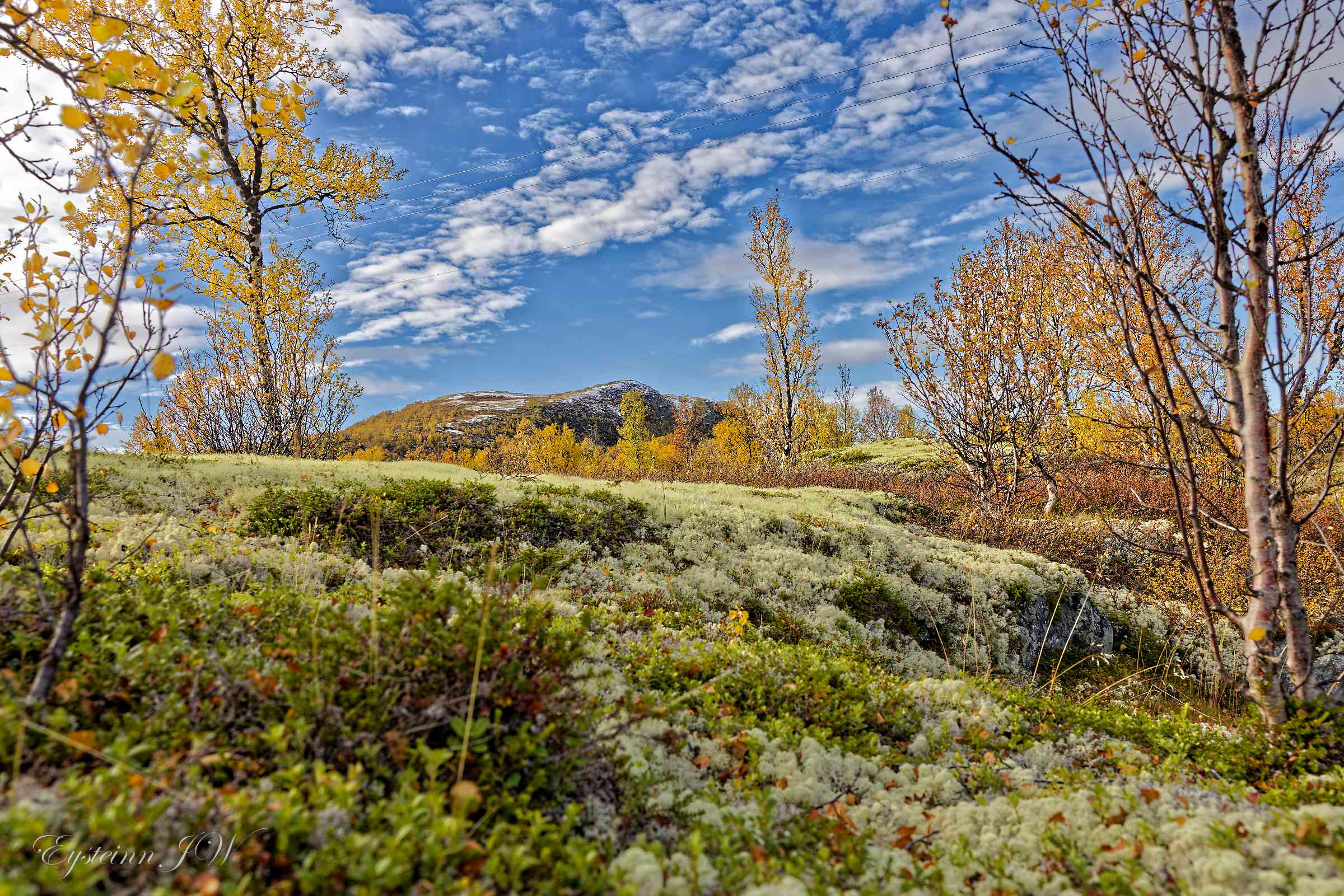
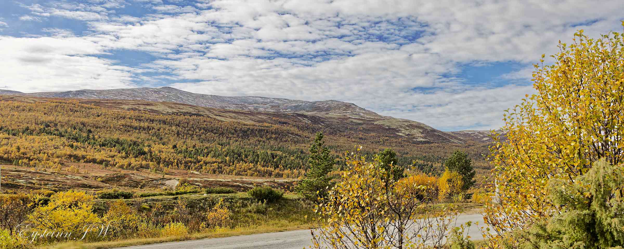
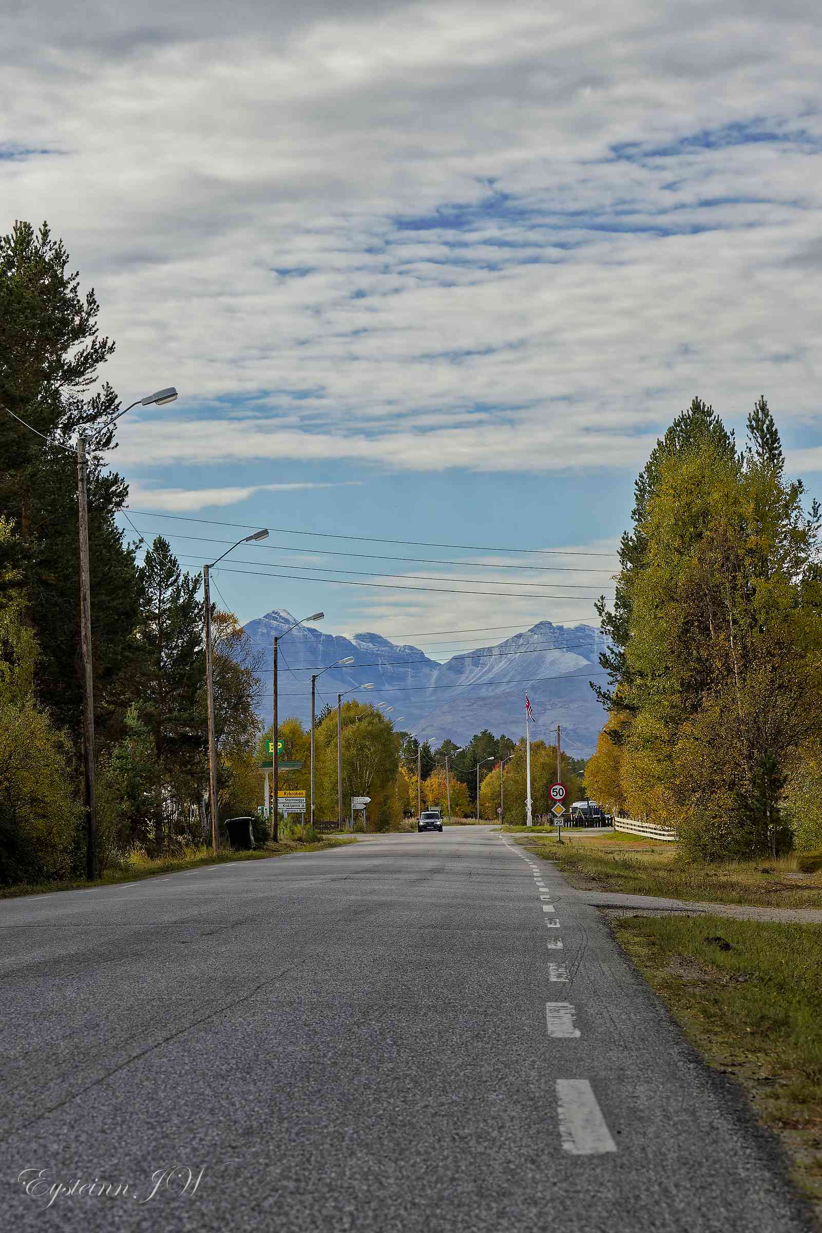
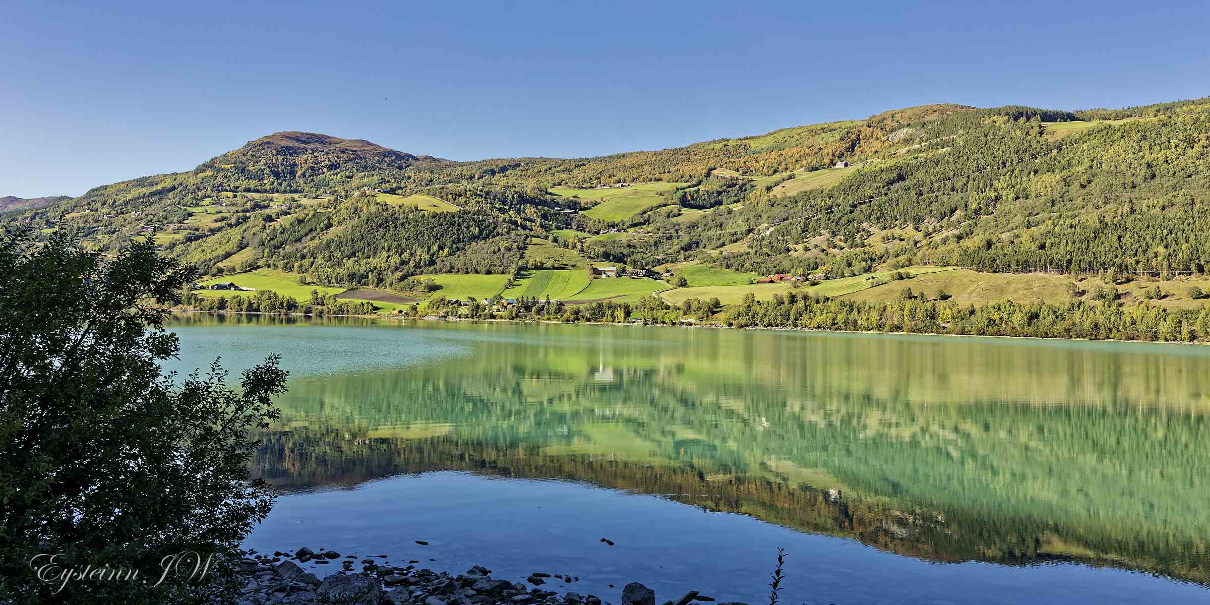
Dovrefjell is located north of the Lesja Valley in Nord-Gudbrandsdalen. The Jora River is considered the western boundary, while Driva and Innset form a northern boundary, and Grimsdalen and Savalen to the east. The area within these boundaries is approximately 4,500 km². In 2002, the former Dovrefjell National Park (established in 1974 – 265 km²) was significantly expanded with the creation of Dovrefjell-Sunndalsfjella National Park 2002, and in 2018 it was further expanded with most of the former Hjerkinn Shooting Range to a total of 1,830 km². The area's protected status helps preserve magnificent nature and an unusually rich variety of plant and animal life. The western part is characterized by steep mountains with Snøhetta standing tallest, 2,286 meters above sea level. In the east, the bedrock is rich in limestone, and it hosts Northern Europe's richest mountain flora with rare species such as Norwegian wormwood and Dovre poppy. Wild reindeer is a characteristic species for the area and one of the main reasons for protection. The musk ox is another distinctive feature of Dovrefjell. There is extensive quarrying of slate in the area, and a former gold mine closed in the late 17th.